
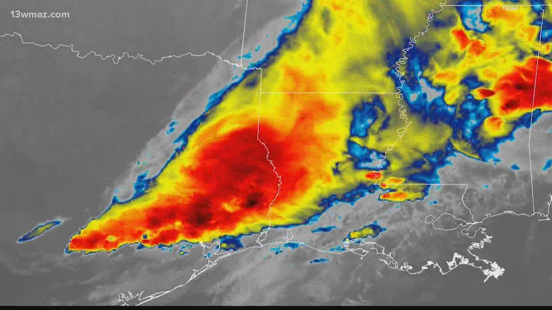
MACON, Ga. — The National Oceanic and Atmospheric Administration has released the first images from its GOES-18 satellite, the new satellite intended to replace the malfunctioning GOES-17.
The satellite is the third in a series of four launched by NOAA and NASA to provide atmospheric information over the western hemisphere.
GOES-18 orbits the Earth above the equator at the same speed Earth rotates, making it geostationary, while measuring atmospheric data for short-term forecasts and severe weather warnings.
Data from the satellite is also used for detecting and monitoring environmental hazards such as wildfires, dust storms, volcanic eruptions, turbulence, and fog.
The satellite is still undergoing testing to ensure that it does not have the same cooling system failure GOES-17 experienced.
According to NOAA, as of now, there are no signs of the issue that affected its sister satellite, GOES-17.
The advanced baseline imager, the extremely high-resolution camera on board, underwent design chances to reduce the likelihood of future cooling system issues. The new design uses a simpler hardware configuration that eliminates the filters that are susceptible to debris.
Scientists were able to make short-term adjustments to GOES-17 to make its data usable for the time being. However, they believe those patches are not sustainable in the long-term.
GOES-18 will eventually take over as the primary satellite responsibilities from GOES-17, for the GOES-West domain. The goal is for that to occur in early 2023.
The newest geostationary satellite was launched March 1 from Cape Canaveral Space Force Base in Florida.