
There has been a lot of buzz this week on how Potential Tropical Cyclone Two, soon to be known as Barry, came into existence.
A message from the National Hurricane Center on Monday left many folks scratching their heads.
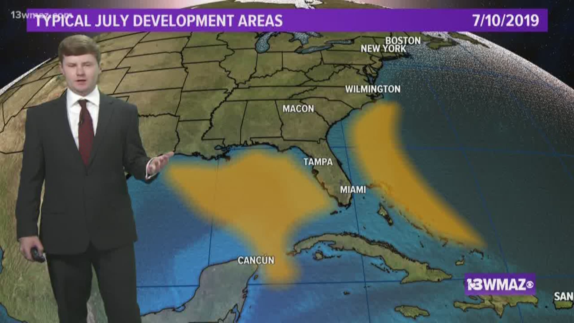
How can a system over Georgia lead to a tropical storm? Tropical storms do not develop over land, but is not uncommon for tropical cyclones to develop close to land.


Frequently, early season tropical storms develop close to the United States coastline.


Old cold fronts stall out over the warm waters of the Gulf of Mexico or the Atlantic Ocean. Once temperature differences add a spin along the old boundary, it is off and running.
Once there is some spin in the atmosphere, thunderstorms develop feeding off of the warm ocean waters below. These thunderstorms release energy and decrease air pressure leading to more storms.


Barry is unique because the spin in the atmosphere that lead to its development was not actually from low pressure along a stalled front. It was from a Mesoscale Convective Vortex or MCV. Even though it has a fancy name, the same process of development described above applies with Barry.